


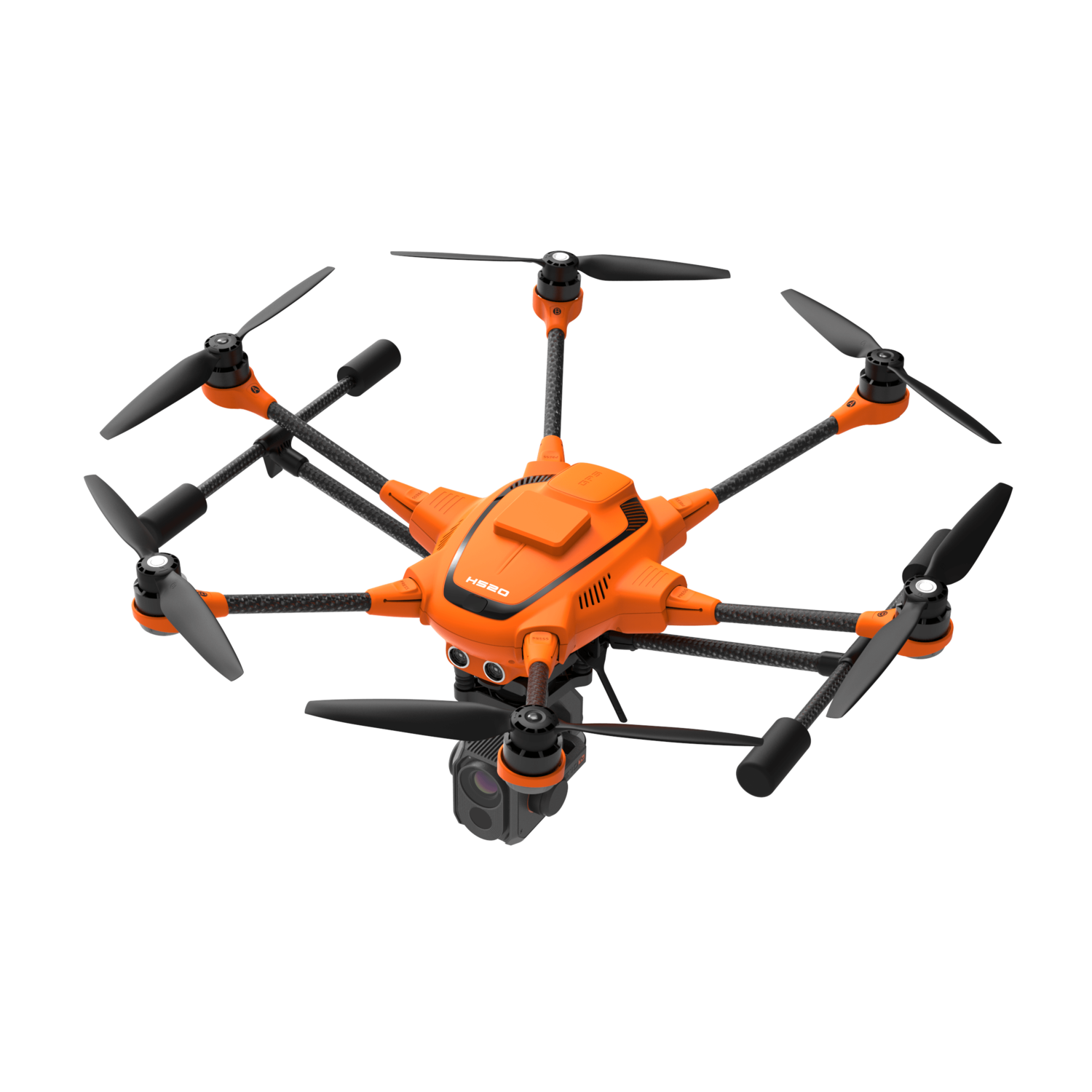
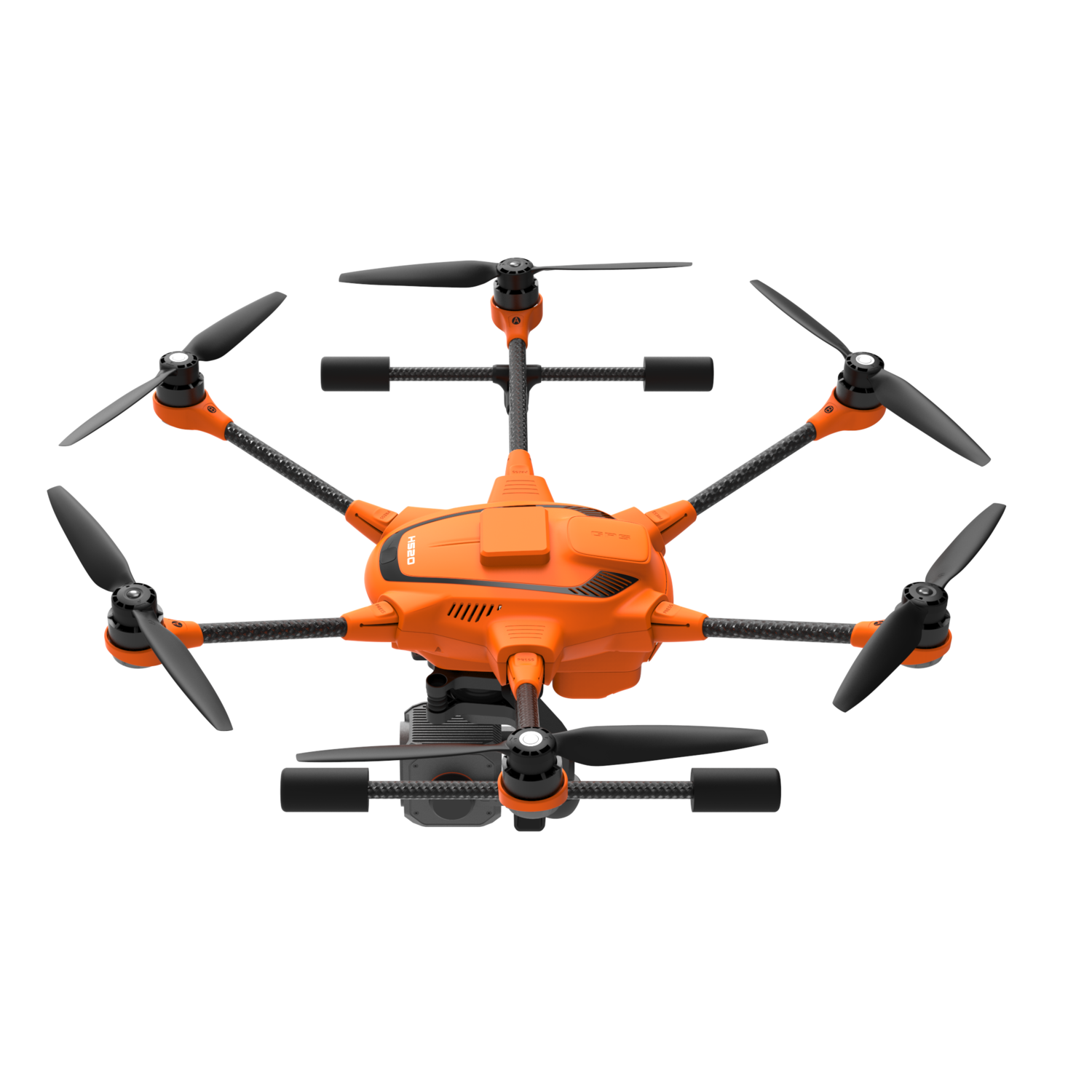
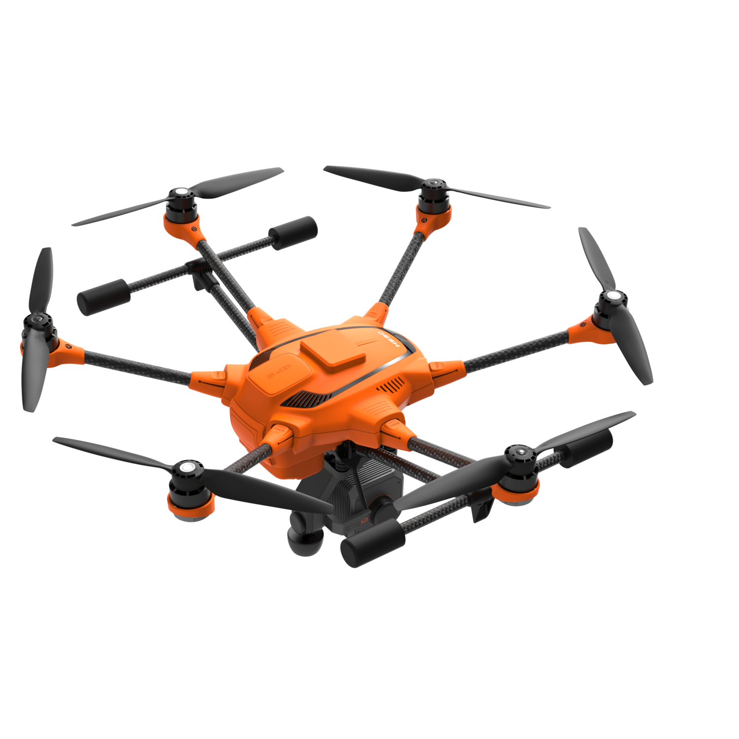
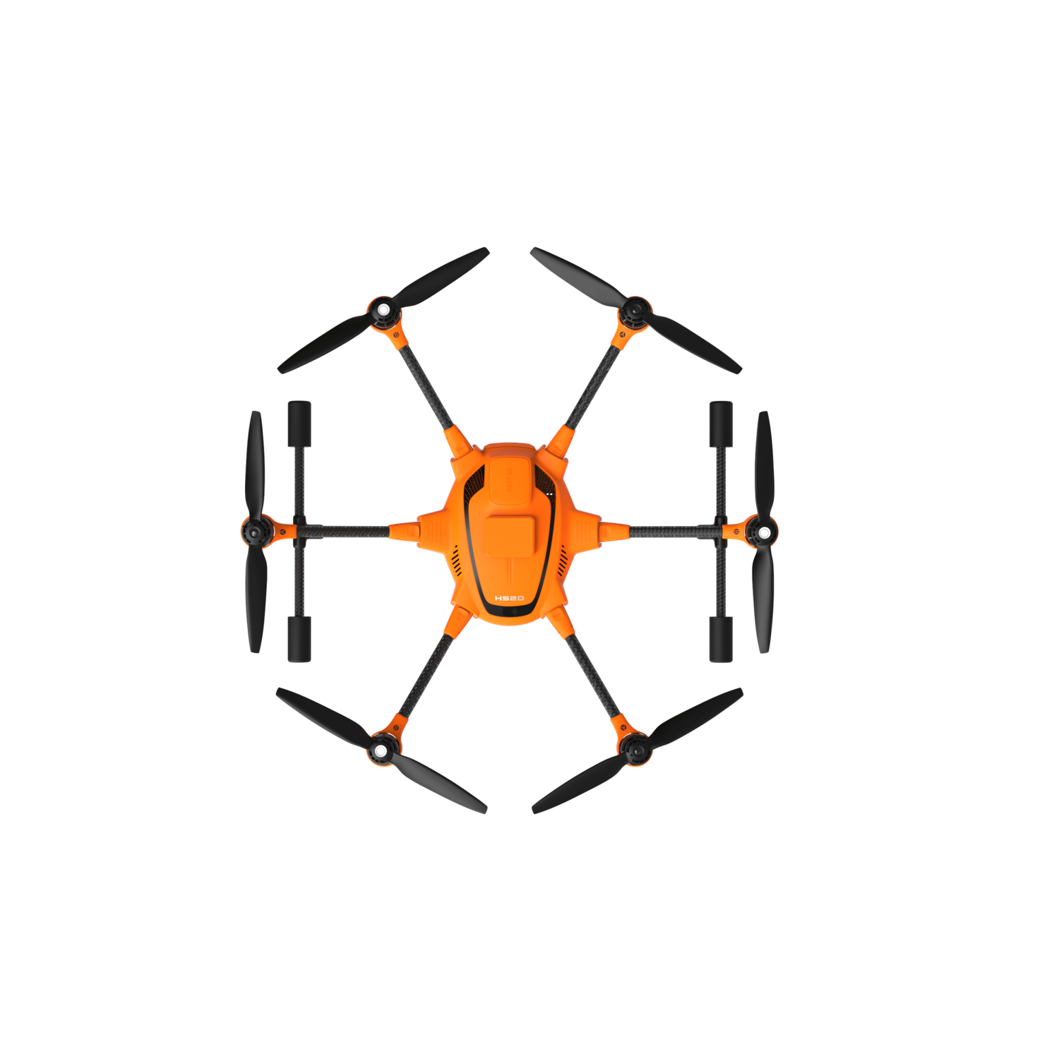


Upgrade Your Mission: H520 RTK
AS PRECISE AS A SWISS WATCH
Thanks to Real Time Kinematics satellite navigation the new H520 RTK will be able to fly and hover in the air with centimetre accuracy, enabling extremely precise repetitive photos, faster 3D mapping and automated inspection flights with increased accuracy.
ONE OF THE FASTEST RTK SYSTEMS IN THE WORLD
The commercial Hexacopter H520 is now available with one of the fastest and most reliable RTK systems in the world, developed by the award-winning Swiss company Fixposition. Fully integrated into the H520, it ensures the highest precision and the fastest possible operational readiness even under difficult GPS conditions like in cities, canyons or forests.
TWO COMPONENTS
The system works with 2 components, an RTK module on board of the H520 and a base station. In less than 30 seconds it can reach centimetre-precise accuracy, even under challenging GPS conditions (with respect to the base station). In situations where the base station isn't desired, and absolute global centimetre-precise accuracy is required, the system can also be operated with a network RTK reference station (Network RTK through third party provider, needs an internet connection, additional fees may apply).
APPLICATION AREAS
The RTK system is an important tool in commercial settings where the highest precision is required. For example, when using software such as Pix4D, Dronedeploy or Altizure for 3D Mapping, RTK reduces image overlaps, resulting in shorter flight and calculation times, and also reducing the number of images required. Inspections can be much closer to the desired object thanks to centimetre-precise flight. This precision is also a great advantage when comparing several images taken on different days, for example to document construction-site progress.
MISSION-READY
The RTK module is fully integrated into the H520 hardware and software. RTK Operators still have the full range of functions of the DataPilot software. All data (including raw GNSS data) can be logged on board, which means the system is also ready for PPK (Post Processed Kinematics).
Top Features
- RTK (Real Time Kinematic) module for high accuracy relative positioning: 1cm + ppm horizontal / 1.5cm + ppm vertical.
- Keep cm precision even in GNSS challenging environments (e.g. between high buildings)
- Ideal for faster & more precise mapping (e.g. complex surveying, inspections, mapping, 3D displays)
- 5Hz update rate of position, velocity & time
- All data including raw GNSS data & real time solution can be logged on board - ready for PPK (Post Processed Kinematics)
- Support signals of up to 3 GNSS constellations among GPS, GLONASS, Galileo & BeiDou.
- Compatible with all Yuneec H520 camera payloads
- Network RTK or Base Station needed
What's in the Box?
- 1 x H520
- 1 x ST16S Ground Station
- 2 x 5250mAh 4S/15.2V (79.8Wh)
- 1 x SC4000-4H AC/DC Charger
- 1 x QR Rotor Set (3 x CW / 3 x CCW)
- 1 x QR Rotor Spares (2 x CW / 2 x CCW)
- 1 x 12V DC Car Socket
